 GameWiki

GET YOUR BEARINGS
About Terra Firma
Terra Firma places you in a god‑like role over a living world where water, land and life interact in complex ways. In its early‑access state you can watch rivers carve valleys, mountains rise and erode, and ecosystems shift as water and nutrients move.
The simulation lets you zoom from a single tree to the entire map. You can reshape terrain with plate‑tectonic tools, then observe how plants and water respond, creating a sandbox of emergent geography and biology.
01 / THE GUIDE
Water Flow and Erosion
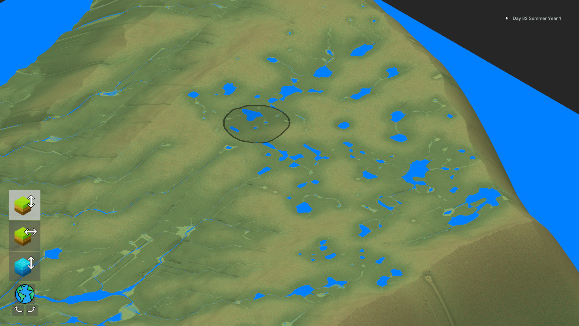
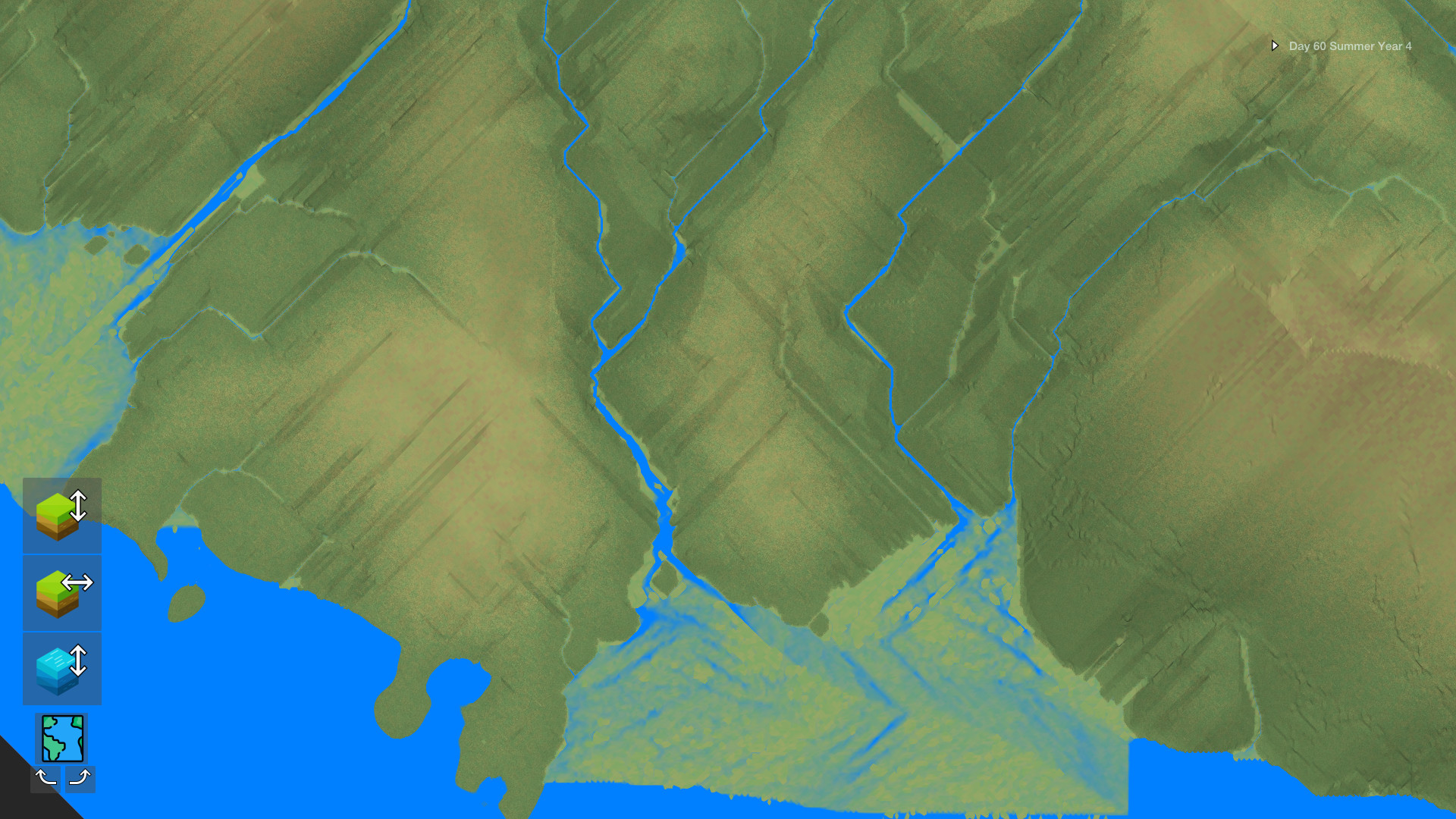
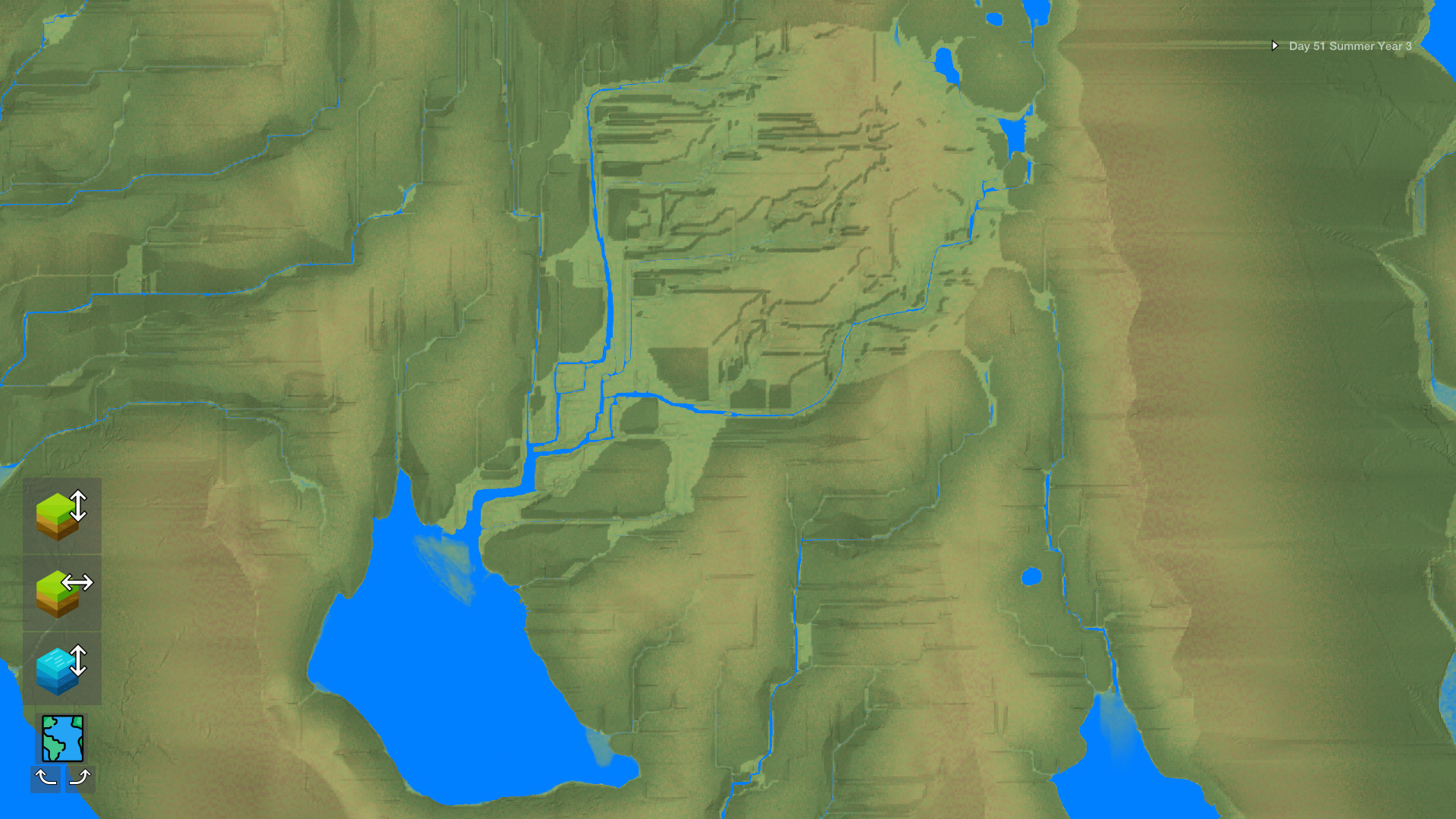
Water travels across the landscape, carving channels that become tributary rivers, deltas, lakes, and oceans. The flow is driven by the terrain’s shape, and as it moves it erodes soil and deposits sediment, reshaping the land over simulated millions of years.
These processes happen automatically; you watch the water reshape the world without direct control. The resulting river systems can be simple streams or complex networks depending on the underlying topography you create.
- Observe how steep slopes produce faster streams that cut deeper valleys.
- Compare flat areas to see slower water spread, forming broader deltas.
02 / THE GUIDE
Plant Ecosystem Response
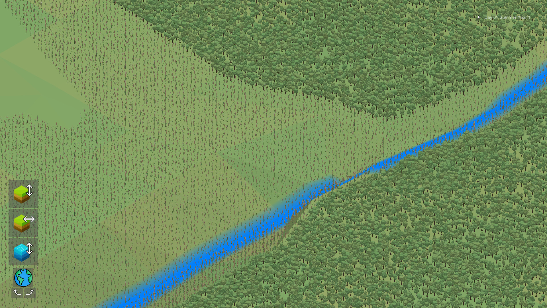
Plants automatically grow across the terrain, each species favoring specific water, nutrient and land‑form conditions. As water moves and land reshapes, plant distribution shifts, showing how ecosystems adapt to changing resources.
Different plants thrive in varied environments, creating visible patterns of vegetation that reflect the underlying geography and water availability you have shaped.
- Notice which plant types dominate low‑lying, water‑rich zones.
- Track how mountain erosion opens new niches for alpine flora.
03 / THE GUIDE
Plate Tectonics Landscape Creation
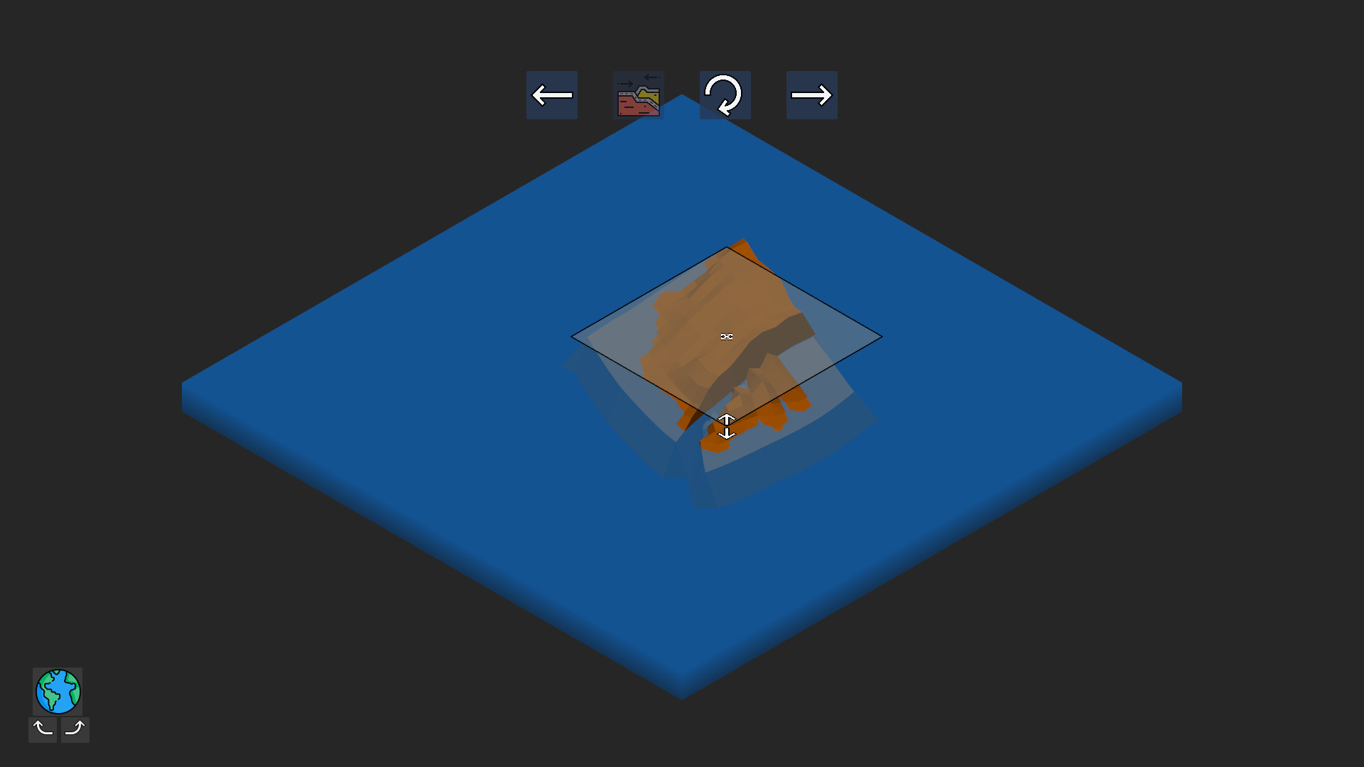
You can raise, lower, and flatten terrain using simulated plate tectonics, watching mountains form, grow, and erode over compressed time. The tool lets you sculpt continents and watch geological processes unfold instantly.
These changes happen in the blink of an eye, letting you experiment with mountain ranges, valleys, and plate boundaries and then see the long‑term effects on water flow and plant life.
- Create a high ridge to force water into a single canyon.
- Flatten an area to see how a lake expands when surrounded by low land.
04 / THE GUIDE
Zoom‑Scale Observation
The camera lets you zoom from an individual tree or plant to a view of the entire map spanning hundreds of square kilometres. This range lets you examine fine details or overall geographic patterns.
Switching scales reveals how small‑scale erosion contributes to large‑scale river basins, and how individual plant clusters fit into broader biomes.
- Start at a macro view to locate major river systems, then zoom in to see erosion details.
- Use close‑up zoom to compare plant density across different soil types.
05 / THE GUIDE
Early Access Status
Terra Firma is currently in early access, meaning the described features are available now but may expand later. The present build focuses on water dynamics, plant growth, tectonic shaping, and scalable viewing.
Being early access, the game is single‑player and supports family sharing, allowing multiple accounts to experience the sandbox without additional purchases.
- Explore each core system separately to understand its baseline behavior.
- Share the experience with family members to compare different landscape experiments.
COMMUNITY
Player discussion